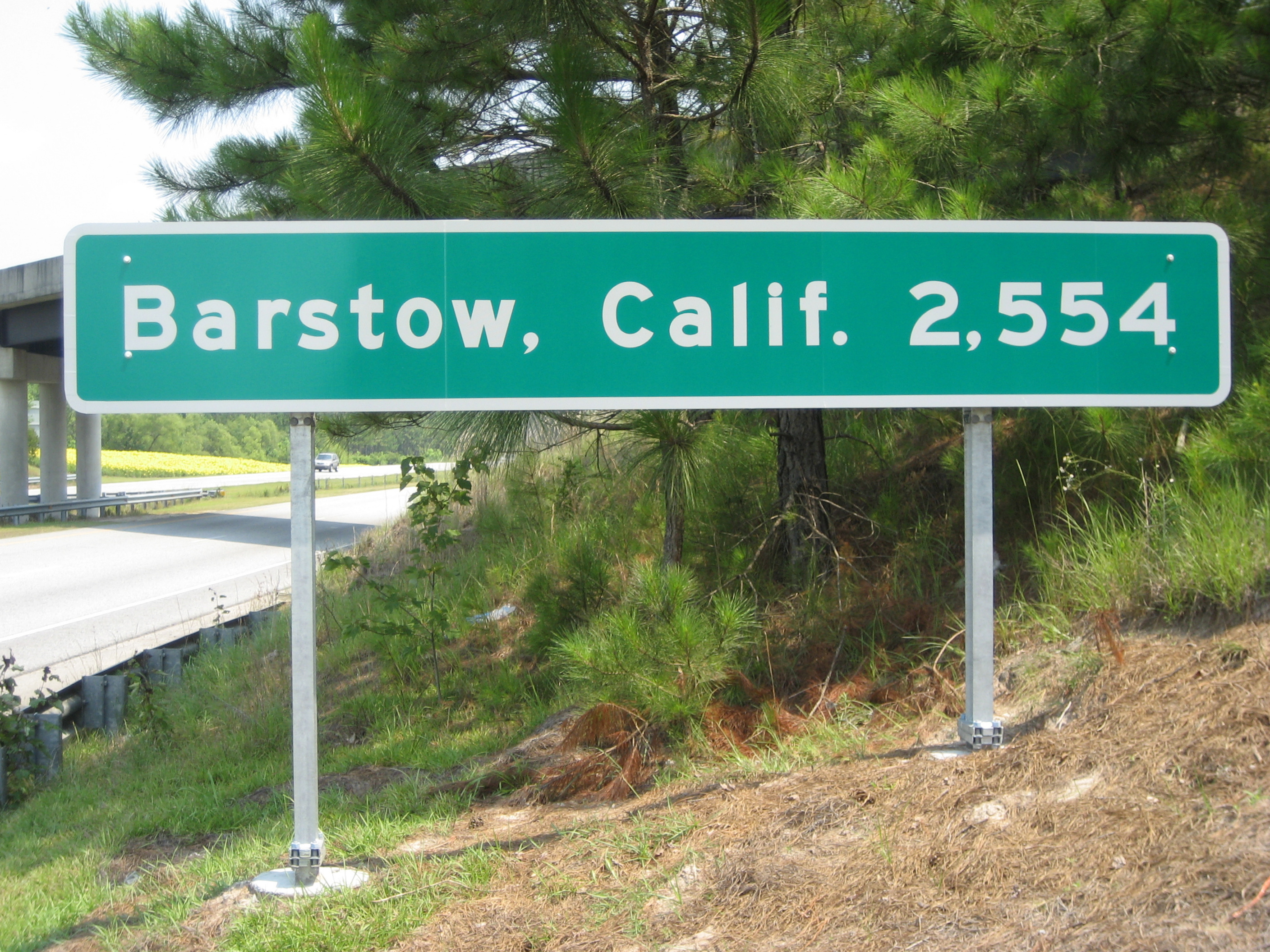
From another forum:
This is in Norton, Vermont , on the U.S. - Canada border, at the intersection of Vermont highways 114 and 147.
It was put up at the request of the U.S. Border Patrol.
That leads me to the question oas to why border patrol would be so concerned with directing people in Vermont to Florida.
If you know where you are in relation to florida you know where you are in relation to the rest of the US. Kind of like a compass.
But like is this for border patrol officers who can’t figure out their gps or migrants who ended up really far away from Florida
I wonder if it is in any way close to the midpoint
Not even close. Any spot on the Maine coast should be within an 8 hour drive. The populated areas should only be a couple hours. Florida is like 30 hours of straight driving from Vermont
Reminds me of this:


